New: Live tidal current data on watermaplive.net and in the Tidal Stream Atlas apps
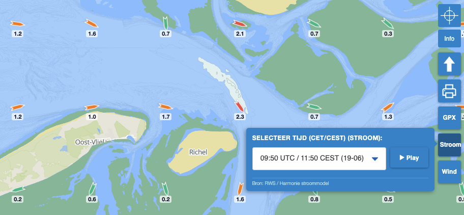
Fully updated tidal current data, including animations and high-resolution charts, is now available to you on watermaplive.net and in the Tidal Stream Atlas apps.
Dutch Version
🇳🇱 | German version 🇩🇪
For decades, the Hydrographic Service of the Royal Netherlands Navy has published tidal stream atlases for the North Sea, the Wadden Sea, and Zeeland waters in the well-known HP33 atlas. Since 2013, these charts have also been available digitally in our Tidal Stream Atlas Europe for Android and, of course, in the Tidal Stream Atlas for Apple devices.
Yet time and technology march on: thanks to several outstanding datasets from Rijkswaterstaat, it is now possible to bring the atlas’s stream arrows to life. The tidal stream atlases have therefore been thoroughly revamped, and the data is now accessible directly on watermaplive.net.
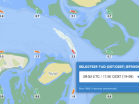
New: interactive and live marine currents
This is the major highlight of the app. It features live marine currents across Western Europe, stretching from Norway to the northern coast of Spain, based on state-of-the-art oceanographic and weather models. This data is computed four times a day on our servers 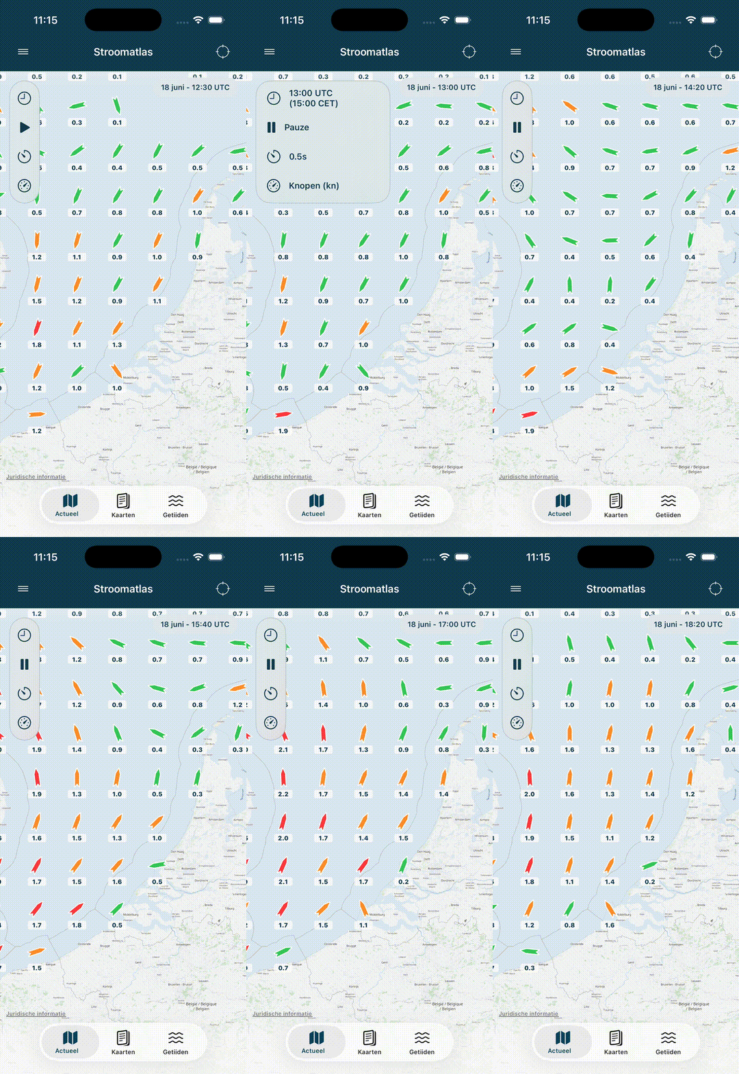 and subsequently delivered to the app.
These forecasted current speeds are calculated based on (naturally) astronomical tides, while additionally factoring in current meteorological effects, provided by the Harmonie weather model from the KNMI.
This allows you to access an exceptionally precise tidal stream forecast for the upcoming 36 hours in 10-minute intervals. You can display current velocities in knots, m/s, or
km/h, and run the animation to observe marine currents changing live on your screen over time.
High-resolution graph
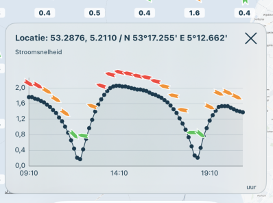
You can also tap anywhere on the screen to view the current profile for the upcoming ebb and flood cycle at that exact spot in a clear graph. This data originates from a hydrodynamic model with an even higher resolution than the one used to render the overview charts, giving you the most accurate forecast possible for any location.
HP33 charts
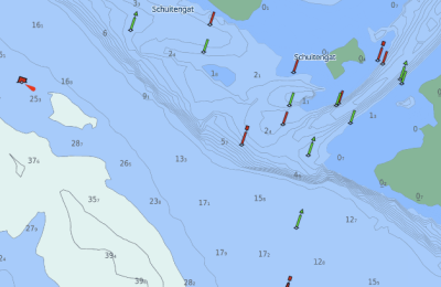
Naturally, the core foundation remains unchanged. The second tab contains all 91 tidal stream charts from the official HP33 atlas showing current conditions across the North Sea, the Wadden Sea, and Zeeland waters, licensed by the Royal Netherlands Navy. These nautical charts are available offline, allowing you to consult them well out of reach of mobile or Wi-Fi networks. On the third tab, you will find water levels and tidal heights at reference stations throughout the coverage area: from Esbjerg in Denmark to A Coruña in Spain. They present both astronomical tides and forecasted water levels including atmospheric surge effects.
Also on watermaplive.net
Do you have a subscription to watermaplive.net? Then you're all set, as you can easily view this data directly here as well. Simply click the "Currents" button on the homepage to pick your desired time and play or pause the animation as you like.